The longstanding hypothesis that the island of Santorini (formerly known as Thera) is the historical basis for Plato’s mythical Atlantis has recently gained renewed scientific attention due to a revised interpretation of the ancient philosopher’s geographical descriptions. While prior attempts to link Santorini with Atlantis have faced criticism over discrepancies in geography, recent analysis suggests that this connection may be more consistent than previously acknowledged.
Plato’s account of Atlantis originates in two dialogues, Timaeus and Critias, composed in the 4th century BCE. In these texts, Plato describes Atlantis as an island located beyond the Pillars of Hercules (commonly identified with the Strait of Gibraltar). He states that this island was larger than Libya and Asia combined and served as a gateway to other islands, leading ultimately to a “boundless continent” encircling what he refers to as the “true sea.” In contrast, the sea within the Straits of Heracles is described not as an open ocean but as a harbour—small in comparison with the true sea.
This geographical framework has posed challenges for earlier attempts to associate Atlantis with Santorini. Historically, scholars have interpreted this geography by identifying the Mediterranean Sea as the “harbour” and equating it with the sea within the Pillars of Hercules. Under this view, the “true sea” was considered to be a metaphorical or symbolic concept, while the boundless continent surrounding it was understood as Eurasia and Africa.
However, this interpretation faces significant inconsistencies when examined in light of Plato’s own text. Specifically, if the Mediterranean Sea is explicitly described as being within the Pillars of Hercules—and thus functioning as the harbour—then it cannot simultaneously be the “true sea” that surrounds a boundless continent. The distinction made by Plato implies that two distinct seas are at issue: one enclosed and comparatively safe (the Mediterranean), and another vast, open, and more formidable (the true sea).
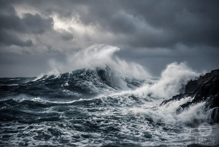
A recent reinterpretation proposes that this “true sea” is not metaphorical but refers to the Black Sea. Evidence from ancient Greek sources indicates that the Greeks viewed the Black Sea with deep apprehension. Originally termed Póntos Áxeinos, or “Inhospitable Sea,” it was perceived as a vast, dangerous expanse without the numerous islands and safe harbors characteristic of the Mediterranean. Due to its lack of navigational anchors, sudden storms, and treacherous conditions, early Greek seafarers avoided it when possible.
Over time, the Black Sea came to be known simply as Póntos, meaning “the Sea,” signifying its status as the definitive ocean in their geographical understanding. This shift from a feared sea to the primary body of water reflects how ancient Greeks conceptualized maritime geography—where a single dominant sea was recognized not by size alone, but by its role as the ultimate and defining sea.
With this revised interpretation, Santorini emerges as a more plausible candidate for Atlantis within Plato’s narrative. From Santorini in the Aegean Sea, one can travel westward through a chain of islands—such as Icaria, Samos, and Chios—to reach Anatolia (modern-day Turkey). This landmass forms part of what could be described as the “opposite continent” referenced by Plato.
Crucially, this “opposite continent,” including Anatolia and adjacent mainland regions, completely surrounds the Black Sea—the true sea. Therefore, the sequence described in Plato’s account is fulfilled: from Santorini, one passes through other islands to reach a landmass that encircles the true sea.
While additional elements of Plato’s narrative—such as Atlantis’s advanced infrastructure, military power, and eventual downfall—remain to be examined within this geographical framework, the revised understanding significantly strengthens the coherence of the connection between Santorini and Atlantis. By redefining the “true sea” as the Black Sea, the geographical structure described by Plato becomes consistent with known ancient maritime geography and a plausible route from an Aegean island to Anatolia.
This reinterpretation does not resolve all questions surrounding the historical reality of Atlantis but offers a more logically consistent framework for understanding how one location—Santorini—could serve as the physical basis for Plato’s mythological account. It underscores that even ancient geographical descriptions may hold deeper meanings when viewed through the cultural and environmental contexts of their time, particularly regarding perceptions of safety, navigation, and maritime risk.